Modelling ancient rifts on supercomputers

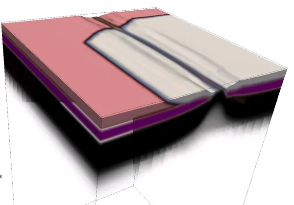
About 60 million years ago, a major rift occured in the North Atlantic that separated Greenland, Canada, and Europe. Why a continental fragment of Greenland ended up in Canada remains a geological mystery. Using numerical models, we simulated multiple rock layers of varying properties under millions of years of extension and deformation. This allowed us to explore the impact of old mountain belts on rifting.

See publication
Lake sediments reveal ancient quakes and Ice Age clues

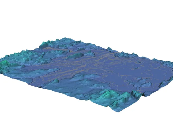
The Western Quebec Seismic Zone is known for earthquakes but lacks sufficient instrumental records for seismic risk assessment. By analyzing seismic reflection profiles from Lac Simard, Canada, we identified two distinct sediment layers reflecting the changing depositional environment due to the retreating Laurentide Ice Sheet. In addition, we found evidence of soil disturbances potentially linked to ancient earthquakes or abrupt meltwater and sediment influxes.

See publication

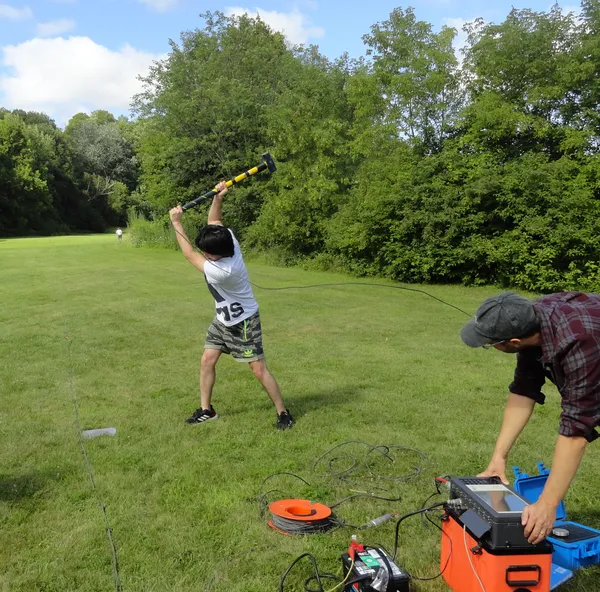
Testing seismic surveying equipment in the Valley

Seismic surveying is a geophysical method that tracks acoustic signals as they travel through different layers of the earth. To test the surveying equipment, we used the hammer seismic method, where a large hammer strikes a metal plate to generate an acoustic signal, recorded by geophones placed along a line. By measuring the arrival timing of these refracted and reflected signals, we can learn more about the rock properties beneath the surface.

Read more

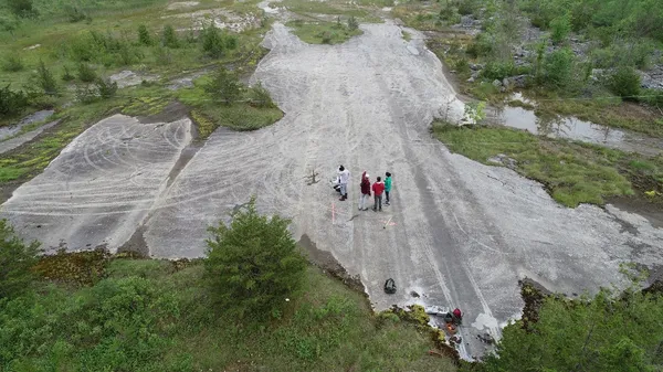
Mapping glacial histories through bedrock scars

Glacial mega-grooves, etched into bedrock by ancient ice sheets, reveal crucial information about past glacial flow. We measured and documented these features in Odessa, Canada. Their patterns painted a picture of the region's glacial history: a southwestward advance of the Ontario Lobe during the last glacial cycle, followed by a northwestward retreat during deglaciation.

Read more